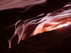
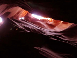
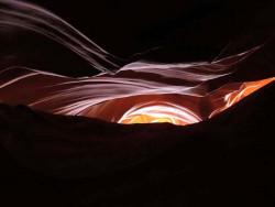
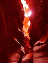
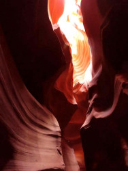
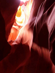
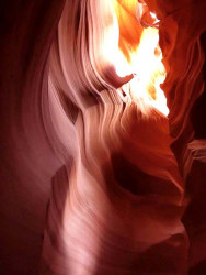
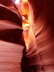
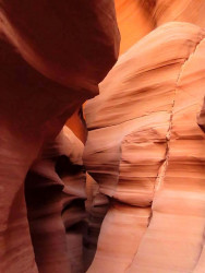
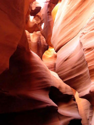
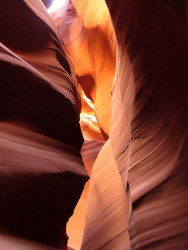
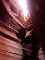
Antelope Canyon
-
upper antelope canyon 17 800

-
upper antelope canyon 2 800

-
upper antelope canyon 18 800
-
upper antelope canyon 26 800
-
upper antelope canyon 1 800
-
upper antelope canyon 3 800
-
upper antelope canyon 5 800
-
upper antelope canyon 7 800
-
upper antelope canyon 8 800
-
upper antelope canyon 11 800
-
upper antelope canyon 12 800
-
upper antelope canyon 13 800
-
upper antelope canyon 14 800
-
upper antelope canyon 15 800
-
upper antelope canyon 16 800
-
upper antelope canyon 19 800
-
upper antelope canyon 20 800
-
upper antelope canyon 21 800
-
upper antelope canyon 24 800
-
upper antelope canyon 25 800
-
upper antelope canyon 29 800
-
upper antelope canyon 27 800
-
upper antelope canyon 28 800
-
upper antelope canyon 48 800
-
upper antelope canyon 30 800
-
upper antelope canyon 31 800
-
upper antelope canyon 32 800
-
upper antelope canyon 33 800
-
upper antelope canyon 34 800
-
upper antelope canyon 35 800
-
upper antelope canyon 36 800
-
upper antelope canyon 39 800
-
upper antelope canyon 40 800
-
upper antelope canyon 41 800
-
upper antelope canyon 42 800
-
upper antelope canyon 44 800
-
upper antelope canyon 47 800
-
upper antelope canyon 50 800
-
upper antelope canyon 51 800
-
antelope canyon
Navajo Upper Antelope Canyon
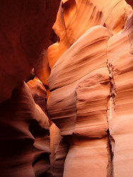
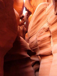
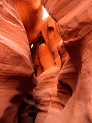
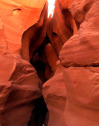
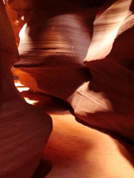
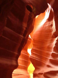
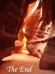
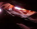
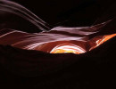
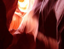
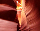
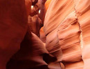
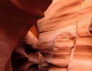
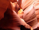
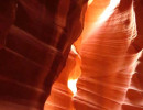
Navajo Upper Antelope Canyon is a slot canyon in the American Southwest, on Navajo land east of Lechee, Arizona. It includes five separate, scenic slot canyon sections, referred to as Upper Antelope Canyon (or The Crack), Rattle Snake Canyon, Owl Canyon, Mountain Sheep Canyon, and Lower Antelope Canyon (or The Corkscrew).
The Navajo name for Upper Antelope Canyon is Tsé bighánílíní, which means 'the place where water runs through the (Slot Canyon) rocks'. Lower Antelope Canyon is Hazdistazí (called "Hasdestwazi" by the
Navajo Parks and Recreation Department), or "spiral rock arches". Both are in the LeChee Chapter of the Navajo Nation. They are accessible by “Navajo” guided tour only.
Antelope Canyon was formed by the erosion of Navajo Sandstone due to flash flooding and other sub-aerial processes. Rainwater, especially during monsoon season, runs into the extensive basin above the slot canyon sections, picking up speed and sand as it rushes into the narrow passageways. Over time the passageways eroded away, deepening the corridors and smoothing hard edges to form characteristic "flowing" shapes.


